|
||||||||
 |
 |
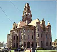
Wise County Court House |
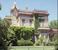
Waggoner Mansion |
North Texas Ranger headquarters were located in Decatur. A.J. Sowell's first-hand account of his troops scout to Camp Colorado provides a vivid description of the post Civil War frontier.
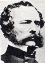 Thanks to the discovery of gold in California, Fort Worth was an obsolete sentinel on the frontier almost before construction was finished. An army detachment under Captain R.B. Marcy (pictured left) escorted the first large wagon train of goldseekers from Fort Smith, Arkansas through the Rockies on the Santa Fe Trail. Marcy's return route entered Texas through El Paso, skirting the western side of the Hill Country and Cross Timbers and entering Indian territory north of Dallas at Fort Preston on the Red. His return route, referred to as the Southern Route, California or Marcy's Trail, was warmer, less mountainous and popular with gold and adventure seekers. By the summer of 1851, a new line of forts stood to protect the western bound traffic.
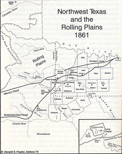
Map from the book, Blood & Treasure, by Donald S. Frazier
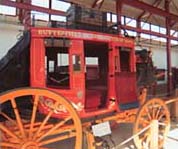
Butterfield's Stages began transporting mail and passengers between the Mississippi and the Pacific, utilizing much of Marcy's Trail. Nervous westbound riders may have noticed Butterfield's fine horses were replaced by mules during the Fort Belknap stop. The driver, if asked, explained it was safer to lose a little speed than to risk driving such attractive prizes into Comancheria.
Continue west on 114 past Earhart Station to Fort Richardson.
![]()
![]()
Home | Table of Contents | Forts | Road Trip Maps | Blood Trail Maps | Links | PX and Library | Contact Us | Mail Bag | Search | Intro | Upcoming Events | Reader's Road Trips Fort Tours Systems - Founded by Rick Steed |