|
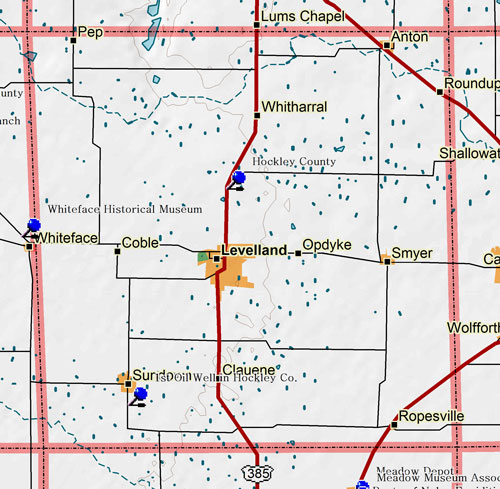
Marker Title: First Oil Well in Hockley County
Address: 1.5 mi. S on FM 303
City: Sundown
County: Hockley
Year Marker Erected: 1973
Marker Location: From Sundown, take FM 303 about 1.5 miles south
Marker Text: On April 6, 1937, this well was completed by the Texas Company (Texaco, Inc.), flowing 502 barrels per day from a depth of 5,023 feet, on land owned by J.E. Guerry (1885-1956). The Guerry family purchased surface and 1/8 mineral rights on 127 acres, in 1929, from R.L. (Bob) Slaughter (1870-1938), who inherited over 160,000 acres of the Lazy S Ranch after death of his father, Col. C.C. Slaughter (1837-1919). Located in the vast Slaughter field, this well was the first of over 2,600 active wells in the county, which have produced over 400 million barrels of oil.
Marker Title: Hockley County
Address: 4.2 mi. N on US 385 in roadside park
City: Levelland
County: Hockley
Year Marker Erected: 1936
Marker Location: 4.2 miles north of Levelland on US 385 in roadside park.
Marker Text: Formed from Young and Bexar territories; created August 21, 1876; organized February 19, 1921. Named in honor of George W. Hockley, commander of the artillery at San Jacinto. Secretary of War of the Republic of Texas. Died in 1851. Levelland called Hockley City until 1912. County Seat.
|